Severe winter weather is expected to impact Texarkana and the broader Ark-La-Tex region this weekend, and local agencies are already taking steps to prepare.
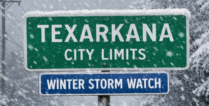
The National Weather Service in Shreveport has issued a Winter Storm Watch in effect from 6:00 a.m. Friday, January 23, through 12:00 p.m. Sunday, January 25 (this will change, pay attention), as a potent winter system moves into the area. Forecasts indicate a mix of freezing rain, sleet, and snow is possible, with ice accumulation a major concern that could make travel hazardous and contribute to power outages and tree damage. Models suggest precipitation may begin late Friday and linger through Saturday into Sunday morning, with temperatures remaining below freezing in many locations.
In anticipation of the wintry conditions, the Texas Department of Transportation (TxDOT) has announced that brine operations will begin Wednesday, January 21 across the nine-county Atlanta District, which includes Bowie, Camp, Cass, Harrison, Marion, Morris, Panola, Titus and Upshur counties.

Brine — a mixture of salt and water — helps prevent ice and snow from sticking to pavement surfaces, improving traction and reducing hazardous conditions on major roadways and bridges. TxDOT crews will focus initially on interstates and U.S. highways, with operations continuing as needed based on updated forecast conditions.
Officials are urging motorists to be aware of mobile work zones and to slow down, maintain safe distances, and give crews room to operate. Drivers are advised to stay at least 200 feet away from equipment, as brine trucks and other maintenance vehicles may stop or engage suddenly.
In the event hazardous weather and road conditions develop, TxDOT recommends that non-essential travel be avoided. If travel is necessary, motorists should slow down, buckle up, stay alert, and use caution on bridges and ramps, which tend to freeze sooner than other surfaces. For up-to-date highway conditions, residents can visit DriveTexas.org or call 1-800-452-9292.
National Weather Service forecasts show that this system could produce a significant wintry mix with potential impacts to travel, power, and daily routines across the region — conditions that may extend into Monday as ice refreezes on roadways.
Residents are urged to monitor weather updates closely, prepare for difficult travel conditions, and take necessary precautions as winter weather moves in later this week.